Embarking on offroad adventures can be an exhilarating experience, but it can also be a challenge without the right tools. Gaia GPS is the ultimate solution for offroad park navigation, providing an easy-to-use platform that helps you navigate through the twists and turns of the wilderness. Whether you are a seasoned outdoor enthusiast or new to...


Turkey Bay Off-Highway Vehicle (OHV) Area Map
In the heart of the Land Between the Lakes National Recreation Area, Turkey Bay Off Highway Vehicle (OHV) Area beckons adventure enthusiasts with its breathtaking landscapes and an impressive network of trails. This unique destination offers a blend of excitement, natural beauty, and outdoor recreation, making it an ideal spot for off-road enthusiasts and nature lovers alike. In this comprehensive guide, we delve into what makes Turkey Bay a must-visit for every off-roading aficionado. Click here to read more.
You will receive the file in .GPX format. All tracks are the color of the original map, labeled with name/number and the trail class. This file format can be used with a wide array of apps, as long as it supports the file format.The file was created in Gaia GPS, if you import into a different app it may change the colors/waypoint style.
If you're an outdoor enthusiast, you know that navigating the wilderness can be tricky, especially when you're off the beaten path. That's where Backcountry Navigator PRO comes in - the ultimate tool for off-the-grid navigation.
Exploring the World of Polaris Ride Command: A Game-Changer in Off-Road Navigation and Connectivity
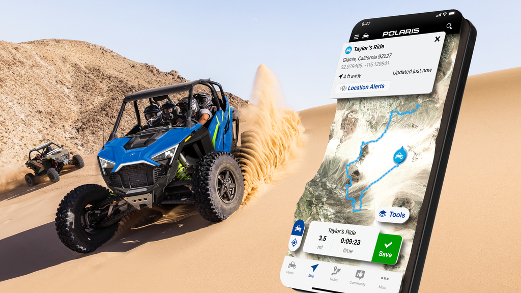
In the realm of off-road adventures, the Polaris Ride Command system stands out as a revolutionary tool, transforming the way riders plan, navigate, and experience their journeys. This innovative technology, a brainchild of Polaris Industries, offers a comprehensive suite of features designed to enhance the off-roading experience for adventurers...
The onX Offroad app, a specialized tool for off-roading enthusiasts, offers a comprehensive and user-friendly experience for discovering and navigating trails suitable for various types of off-road vehicles such as 4x4s, UTVs, dirt bikes, and snowmobiles. It boasts a substantial database of trails, providing over 400,000 miles of motorized routes...
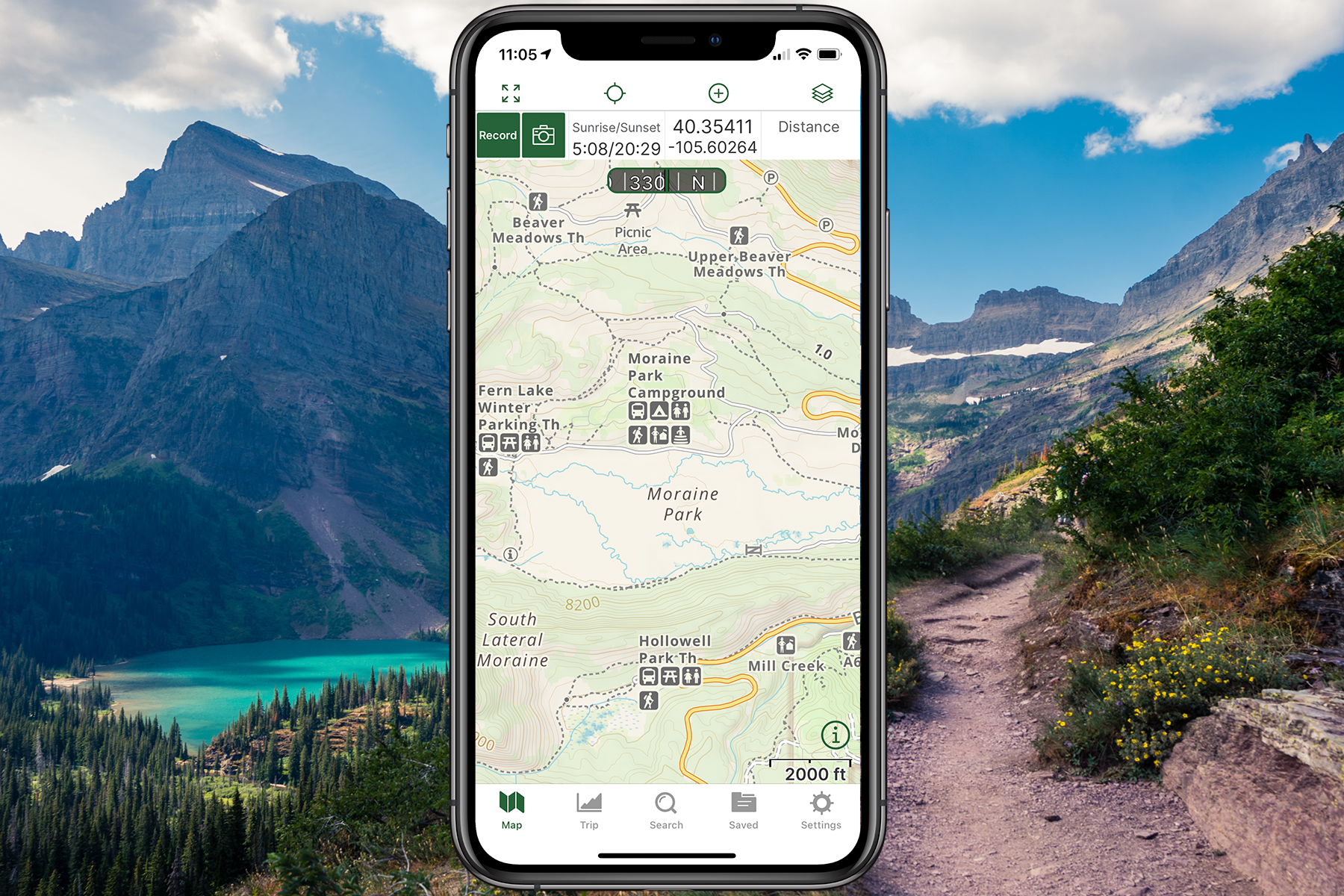
Navigating the great outdoors has become more accessible and enjoyable thanks to advanced GPS applications like Gaia GPS. Particularly for iOS users, Gaia GPS stands as a robust choice for hikers, bikers, and adventurers. This guide will walk you through the nuanced steps of importing GPX and KML files into your Gaia GPS app (iOS), ensuring you're...
Introduction to Gaia GPS and GPS Data Import
Navigating the great outdoors has become more accessible and enjoyable thanks to advanced GPS applications like Gaia GPS. Particularly for Android users, Gaia GPS stands as a robust choice for hikers, bikers, and adventurers. This guide will walk you through the nuanced steps of importing GPX and KML files into your Gaia GPS app (Android), ensuring...
Enhancing Your Off-Road Adventures with onX Offroad
Are you an offroad enthusiast looking to navigate the backcountry with ease? Importing markups into your onX Offroad Web Map is an essential skill. This detailed guide will walk you through the steps of importing waypoints, routes, lines, shapes, and tracks to enhance your offroad adventures.
Introduction: Enhancing Your Off-Road Experience with Ride Command
Importing a GPX File into Ride Command
Introduction to Importing GPX Files into Ride Command
Introduction: Navigating the Digital Terrain with Ride Command
FAQ
1. Can the map be used offline?
Yes! Our maps do not require a internet connection to work.
3. Why is the the trails the same color?
The file was created in Gaia GPS, if you import into a different app it may change the colors/waypoint style.
4. What format is the map file?
You will receive the map in GPX file format, if you need a different format please email us at support@mytrailmaps.net
5. What is the color code of the map?
All maps follow the original color code of the maps the park provides.
6. The link says I have zero attempts left, how do I download the file?
If the link you received says you have zero attempts to download the file and you haven't downloaded it yet please email our support team at support@mytrailmaps.net
7. Does the map have corresponding trail numbers? .
Yes! The map will follow the same number and naming scheme as the park.


